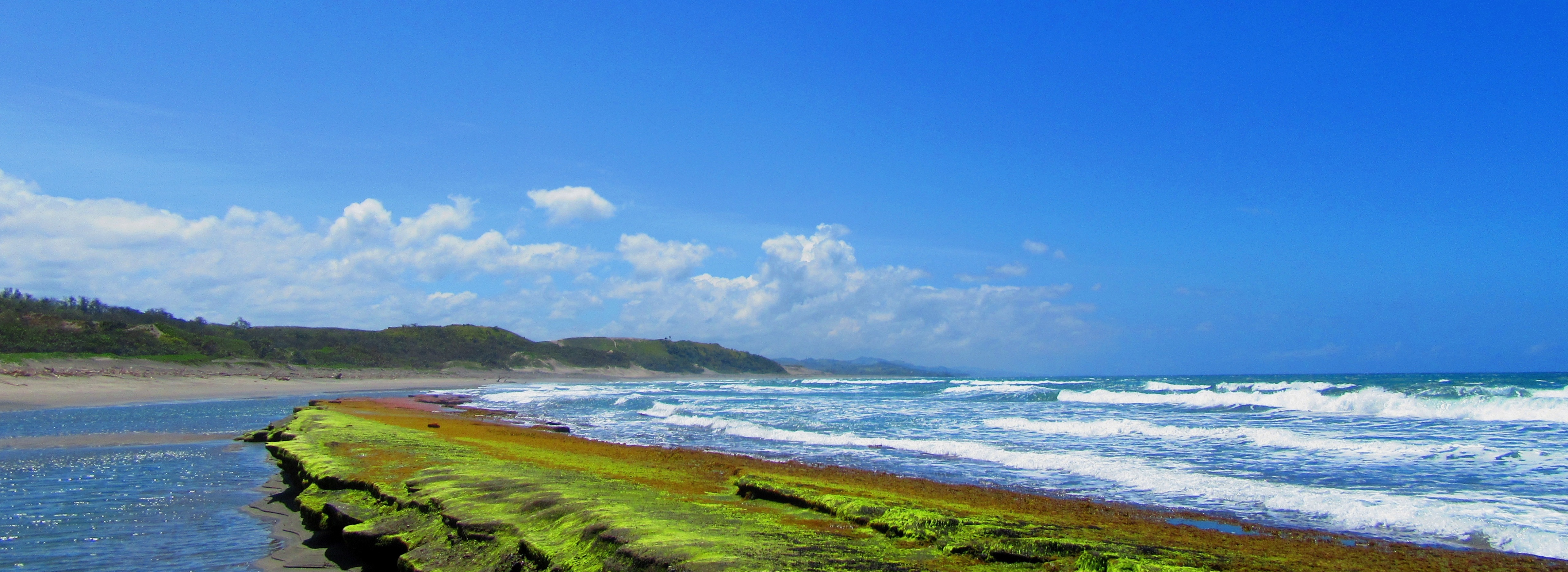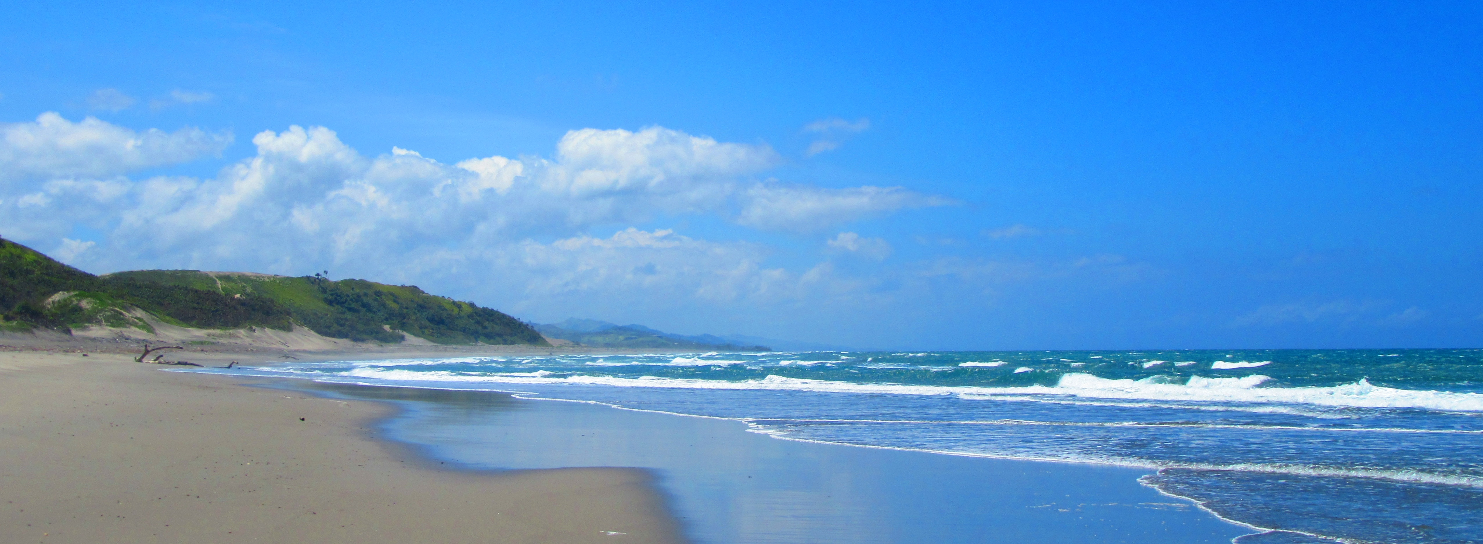
I traveled to the Sigatoka Sand Dunes with the Archaeology Department of the Fiji Museum to assess the impact of category five Cyclone Winston on the archaeological features in the dune system. We planned a walkover of the areas known to have archaeology to see if additional features had been exposed by the high winds and storm surges. Little did we know what was in store for us!
The Sigatoka Sand Dunes was inaugurated in 1987 as Fiji’s first National Park. It’s managed by the National Trust of Fiji and is staffed by local rangers who have an in-depth knowledge of this dynamic environment. The dune system is about 5km long and 1km wide, and the dunes themselves range from about 20m to 60m in height. While the inland side of the dunes is relatively stable, the coastal side is exposed to waves and high winds that erode and redeposit the sand. The site is located southwest of the town of Sigatoka on the main coastal road and the entrance is marked with a visitor’s centre. It is one of the most popular attractions on the southern coast of Fiji’s main island, Viti Levu, and when I visited they were in the process of adding a café.
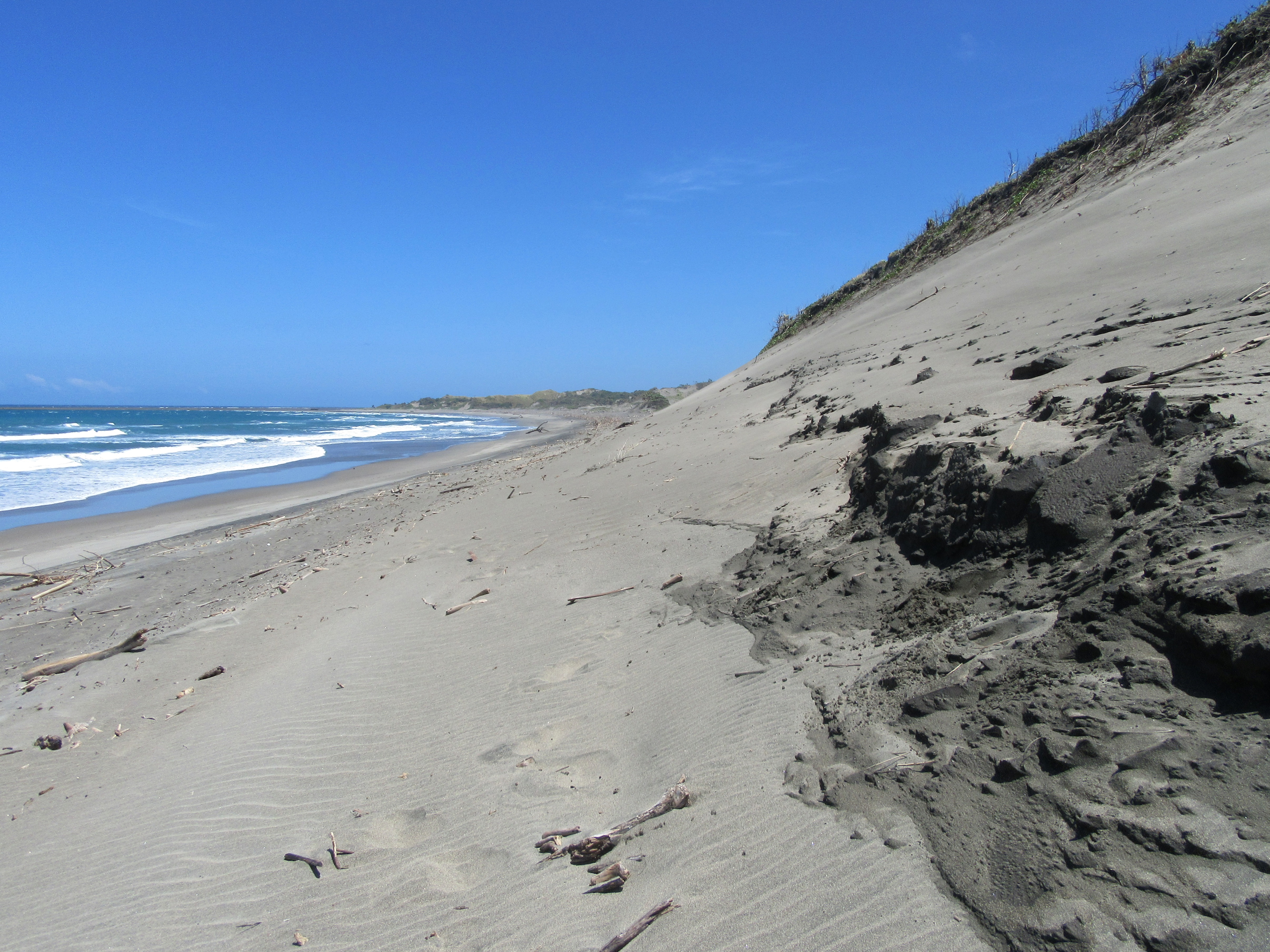
Excavations have been taking place at the Sigatoka Sand Dunes since the 1960’s and the information they reveal has changed how we understand the peopling of Fiji. Taken together, the archaeological investigations show us evidence of human occupation along the entire length of the dune system, with a concentration on the eastern end near the mouth of the Sigatoka River. The occupation spans from the earliest settlement of Fiji to the historic period. A key element of information is that the dunes were occupied in at least six different episodes: people lived there, left, and then a different group arrived. Archaeologists know that these episodes were separated by periods when no one occupied the dunes because the evidence (like pottery and human bone) of each episode is separated by wind-blown sand. This creates a layer-cake like effect that can be seen on some of the coastal slopes.
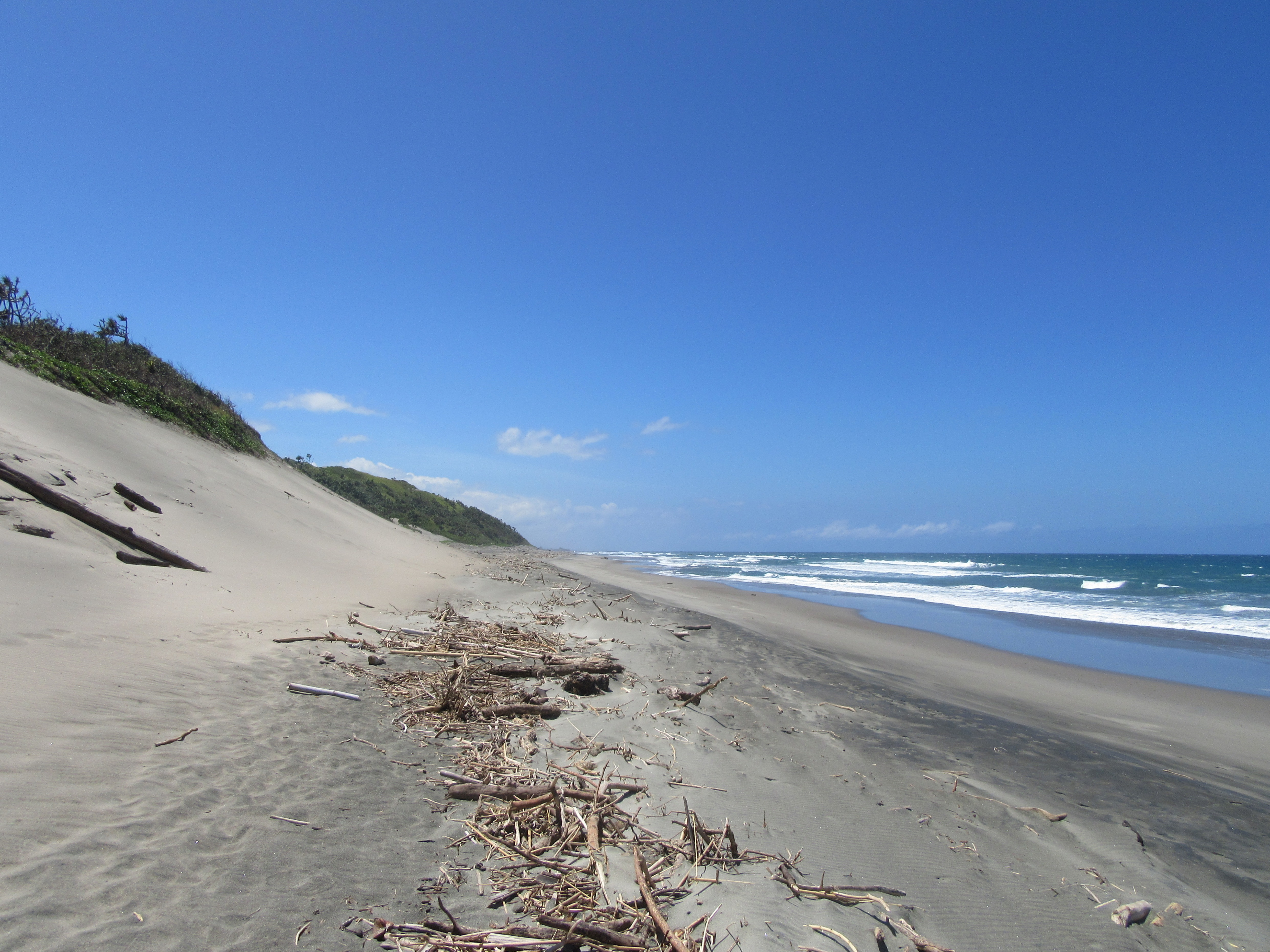
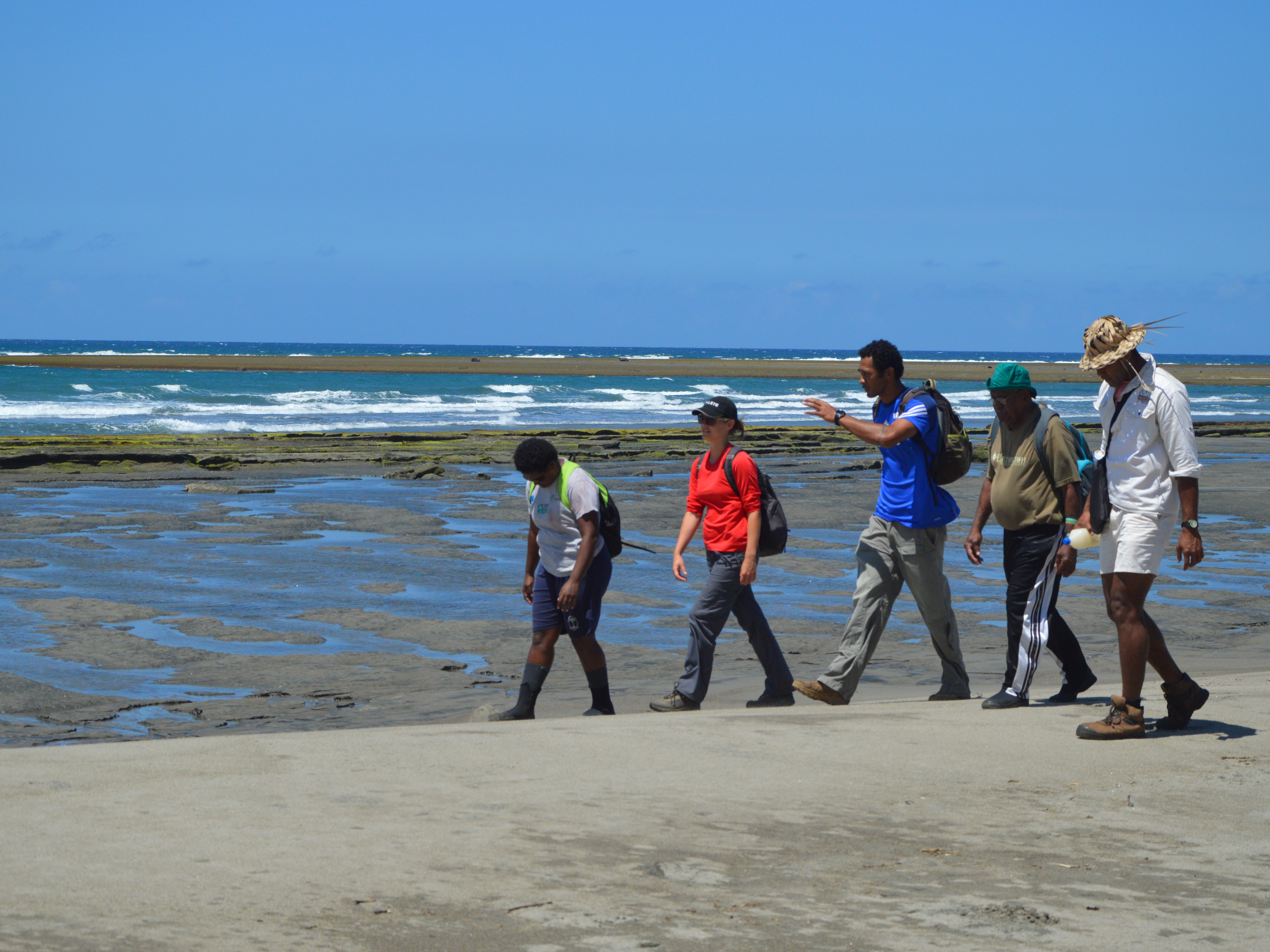
We began our walkover of the Dunes on the western end and followed the coastline east towards the mouth of the Sigatoka River. The wind was very strong so I shudder to imagine what it would be like during a cyclone! The sand is a beautiful light gold colour and is usually dotted with vines and shrubs. When we visited the effects of the cyclone were evident in the amount of debris washed up on the shore. I asked the ranger who was with us if this was typical and he replied that the amount and size of driftwood was unusual, as was the lack of vegetation cover on the foreshore. The cyclone’s winds had clearly affected the vegetation of the dunes.
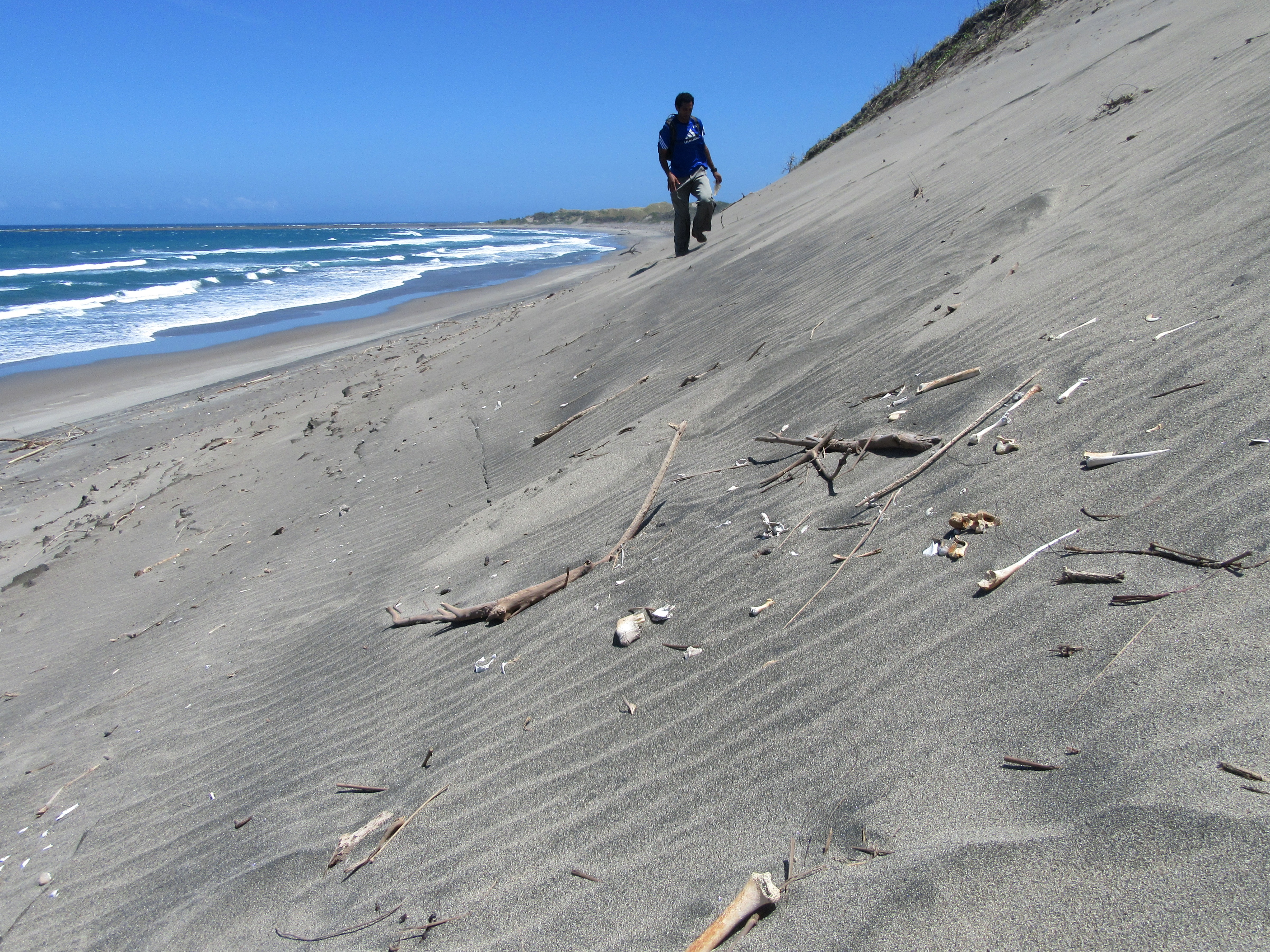
As we continued our walk we came to a towering dune where human bone had been discovered in the past. Almost immediately a human skull was spotted! The team divided to see if more bone could be found: one group stuck to the lower slope where a skull, arm bones, and some vertebrae and ribs had already fallen down the slope and were resting in a jumble; the other group trudged directly up the steep slope and found a pelvis, ribs and vertebrae exposed to the elements. Once the sand was removed we found that there were actually two sets of legs lined up together! The force of the winds from Cyclone Winston had removed much of the sand covering the burials and the upper halves had fallen down the slope. Their location high up on the dune, above the latest dated occupation layer, tells us that the burials likely date to after 280 AD. If we had not lifted them that day all evidence of them being there would have been lost, but now they will be kept in the Fiji Museum for analysis. This was rescue archaeology to the extreme!
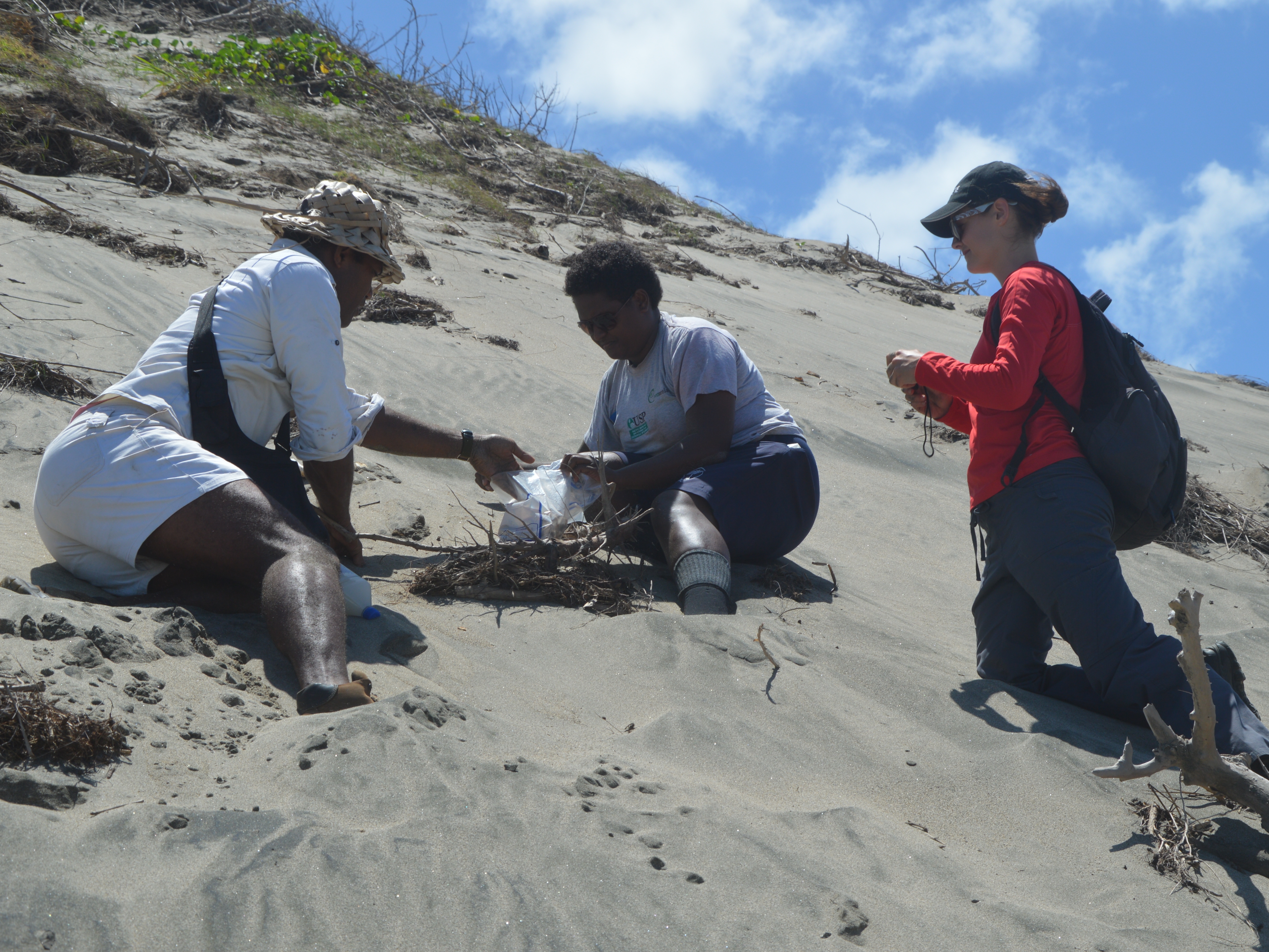
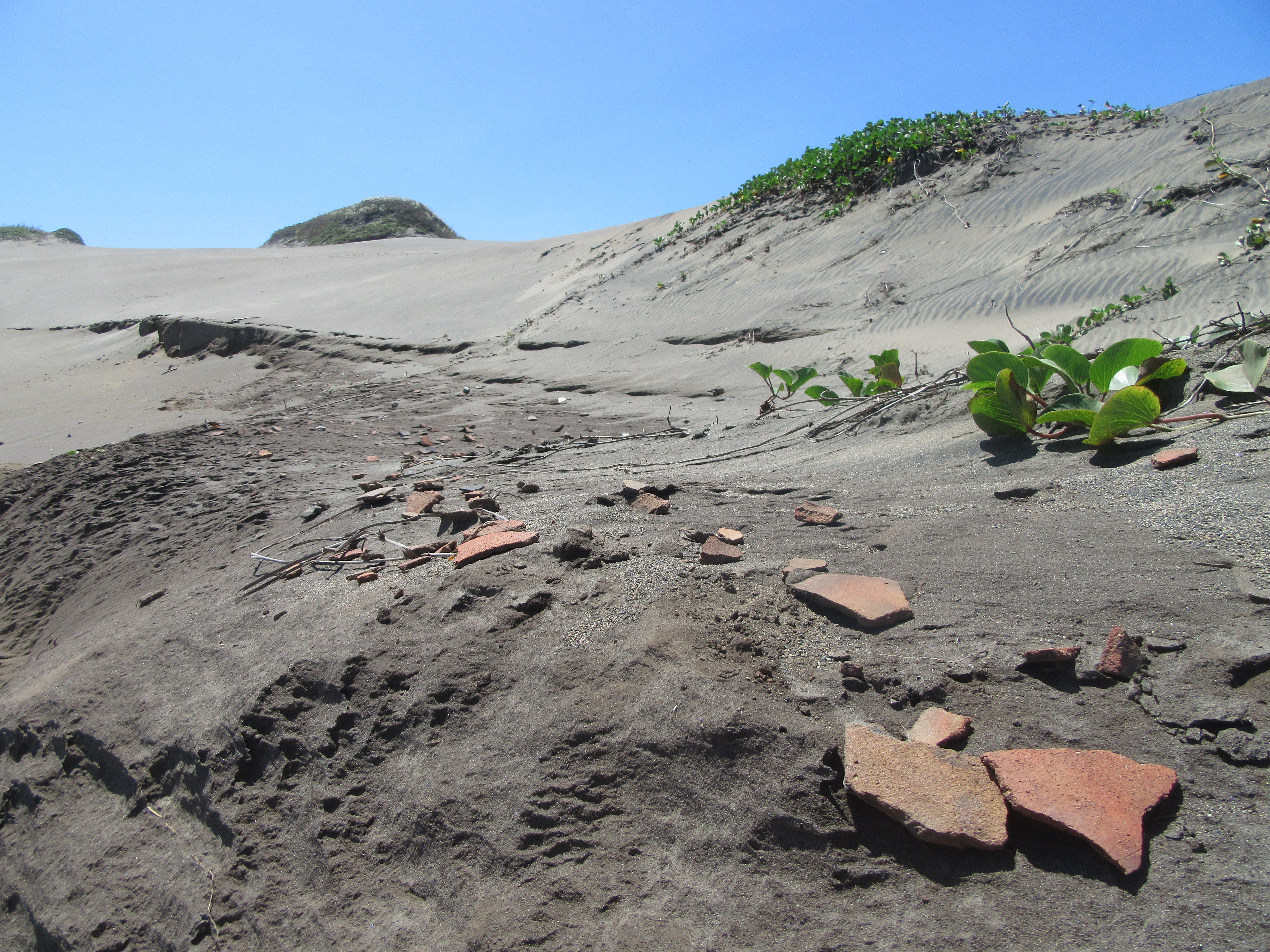
Our day was not over yet! After spending a few hours lifting the skeletal remains we brushed of the worst of the sand and continued on (there wasn’t much to be done about the sand in our ears, down our shirts and up our noses!). The full wealth of archaeological remains still hidden in the dunes was revealed to me when we came to an area littered with large pottery fragments. These are the remains of an extensive sea salt drying operation that dates to the Navatu Phase (420-660 AD at Sigatoka). From the size and thickness of the fragments it is known that the trays were large, 60cm in diameter, and heavy, 2kg or more, and so were likely made, used and disposed there. On the back of some of the fragments you can see the impressions of mats and leaves. This small clue helps to paint a picture of how the trays were made of thick slabs of wet clay pressed onto mats or beds of leaves. These large shallow trays would have been filled with sea water, left in the sun to evaporate, and then the sea salt collected for use and maybe trade.
My visit to the Sigatoka Sand Dunes opened my eyes to the richness of Fiji’s archaeology. There is so much left to discover about how Fiji was settled and how people used and changed the landscape over time. I’m glad I got to help rescue a tiny part of this country’s fascinating archaeological record! If you want to visit the site for yourself or find out more about Fiji’s early settlement there are a few links here:
Sigatoka Sand Dunes: Lonely Planet
Sigatoka Sand Dunes: Official site of Fiji Tourism
Burley, D. V. 2005. Mid-Sequence Archaeology at the Sigatoka Sand Dunes with Interpretive Implications for Fijian and Oceanic Culture History. Asian Perspectives 44 (2): 320-48.
